GeoLab, Browser-Native Multi-Engine Geospatial Tool Platform
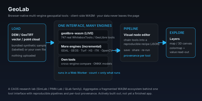
A browser-native, no-install geospatial platform: load a DEM, GeoTIFF, vector or point cloud (a bundled sample or your own file), run real geoprocessing tools, chain them into reproducible pipelines, and explore the result on a map or 3D canvas, entirely in your browser. No server, no Python, no GDAL install, and your data never leaves your machine. Today it runs 747 real WhiteboxTools / GeoLibre tools client-side via the geolibre WASM engine; the architecture (ADR-0059) is multi-engine by design, aggregating GDAL, GEOS, Turf, H3, mapshaper, ITK-Wasm, OpenCV.js and ONNX behind one uniform tool interface as adapters land incrementally. Every tool shows its source engine, authors and license, and the tool count is only what genuinely runs, never padded.
Business Context
Geospatial work touches mining, environment, infrastructure and agriculture, and the friction is real: installs, server uploads, and non-reproducible toolchains. A browser-native platform where the data never leaves the machine removes the privacy and setup barriers at once, and a shareable JSON recipe makes an analysis reproducible by anyone with a browser. The multi-engine aggregation is the differentiator: instead of betting on one library, it puts many behind one interface and lets you compare them, which is exactly what someone evaluating a method needs.
Strategic Value
GeoLab is a browser-native, multi-engine geospatial platform that turns a fragmented WASM ecosystem into one tool interface with reproducible pipelines and per-tool provenance, all client-side with no data leaving the machine. It ships 747 real tools live via the geolibre engine and is built (ADR-0059) to aggregate many more as adapters, with its own cross-engine comparison and composite tools on top. It follows the same reporting rules as the rest of the labs: the tool count is only what genuinely runs, sample data is labelled synthetic, and it is openly an actively-built-out lab rather than a finished product.
The Challenge
Serious geospatial analysis normally means installing GDAL, a Python stack, or desktop GIS, and often uploading data to a server. That is a barrier for quick analysis, a privacy problem for sensitive data, and a reproducibility problem because everyone runs a slightly different toolchain. The WebAssembly ecosystem now has real geospatial engines that run in the browser, but they are fragmented: each is a separate library with its own interface, so no single place lets you reach across them, compare them, and chain their tools into a shareable workflow.
Our Approach
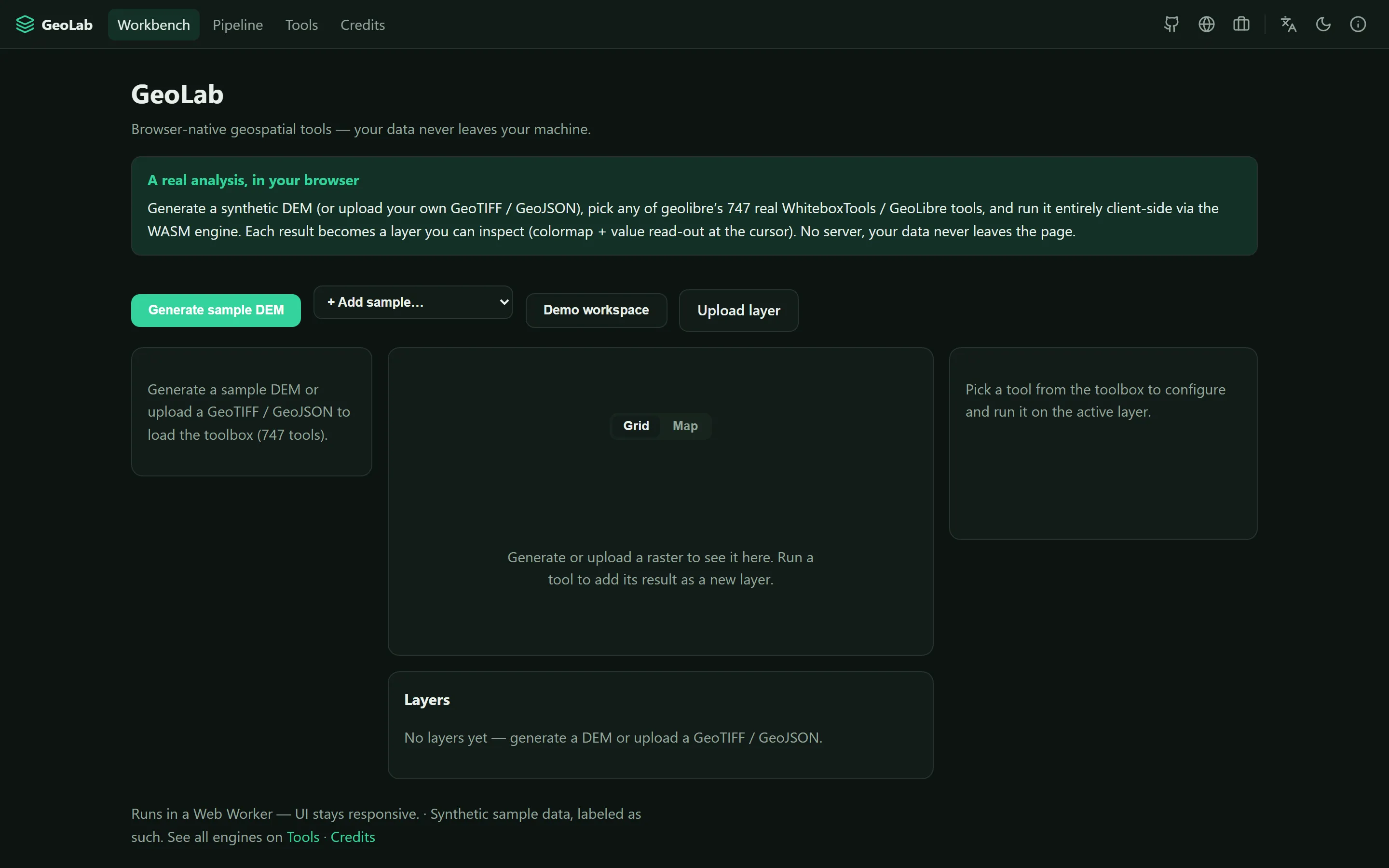
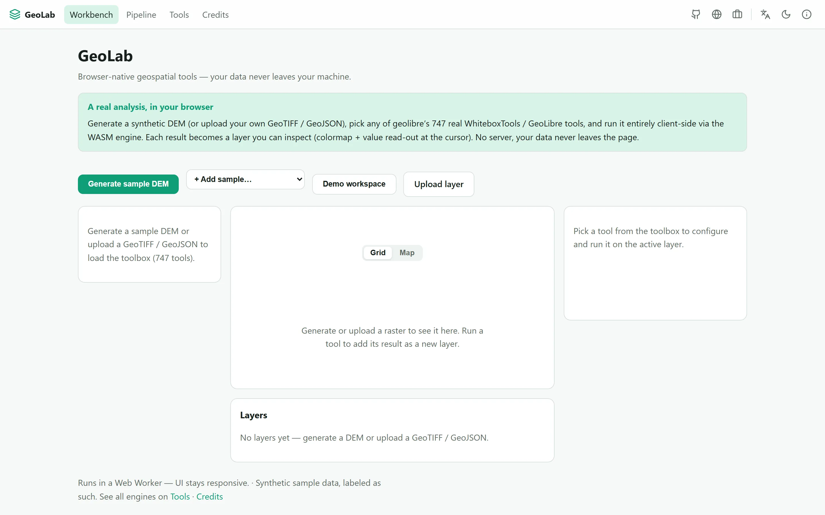
GeoLab aggregates WebAssembly and JS geospatial engines behind one uniform tool interface, runs everything client-side, and keeps your data on your machine. You load a bundled synthetic sample (labelled as such) or your own GeoTIFF / GeoJSON, and the toolbox populates; each result becomes a layer you inspect with a colormap and a value read-out at the cursor, in a grid or map view. Live today it exposes the geolibre WASM engine with 747 real WhiteboxTools / GeoLibre tools running in a Web Worker so the UI stays responsive. The architecture (ADR-0059) is deliberately multi-engine: adding an engine is one adapter, and GDAL, GEOS, Turf, H3, mapshaper, ITK-Wasm, wasm-vips, OpenCV.js and ONNX Runtime Web are integrated incrementally toward a catalog of a thousand-plus tools. On top of the aggregation it adds its own original tools: composite workflow-tools, a cross-engine comparison (run the same operation through two engines and see the difference), and models trained to ONNX that run in-browser. A visual node editor chains tools into a reproducible recipe (JSON) you can save, share and re-run on new data. Every tool shows its source engine, authors and license, and the tool count only ever reflects what genuinely runs.
Key Performance Indicators
| KPI | Baseline | Result | Impact |
|---|---|---|---|
| No install, no server | Install GDAL / Python / desktop GIS; often upload data to a server | Runs entirely in the browser (WASM, Web Worker); your data never leaves the machine | Zero setup and private by construction |
| Tools available live | One WASM engine, or a bespoke script | 747 real WhiteboxTools / GeoLibre tools today via the geolibre engine; multi-engine architecture (GDAL, GEOS, Turf, H3, ITK, OpenCV, ONNX) landing incrementally | Many engines behind one interface, counting only tools that run |
| Reproducibility | Loose scripts nobody can re-run | A visual node editor chains tools into a shareable JSON recipe, re-runnable on new data, with per-tool provenance (engine, authors, license) | An analysis anyone with a browser can reproduce |
Architecture
geolab pipeline
Technology Stack
Application Screenshots